Log in
All resources
Create a design
1,095,865 Free Images of Maps Of Chaldea
maps made in the 17th century
maps made in the 18th century
atlantis magni tomus secundus (biblioteca comunale di trento)
atlantis magni tomus tertius (biblioteca comunale di trento)
johann baptist homann
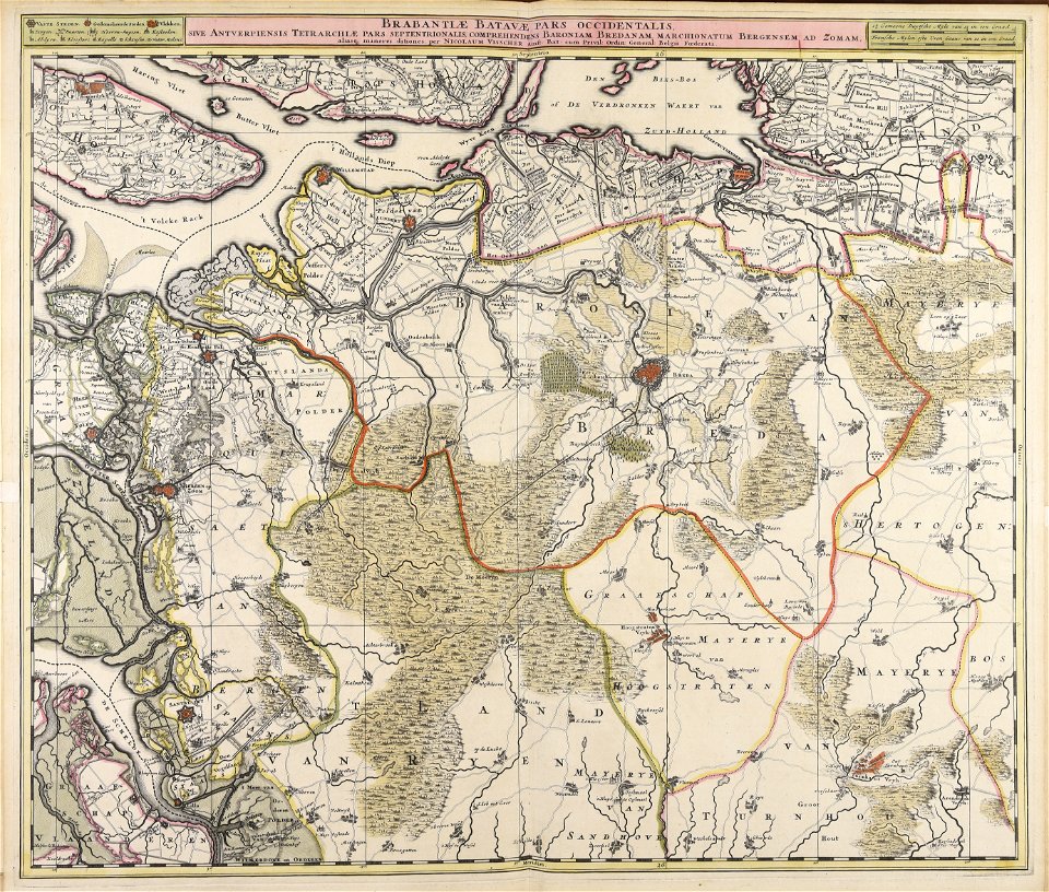
nicolaes visscher ii
charts and maps of the royal museums greenwich
1590 maps
augustine ryther
expeditionis hispanorum in angliam vera descriptio anno domini mdlxxxviii
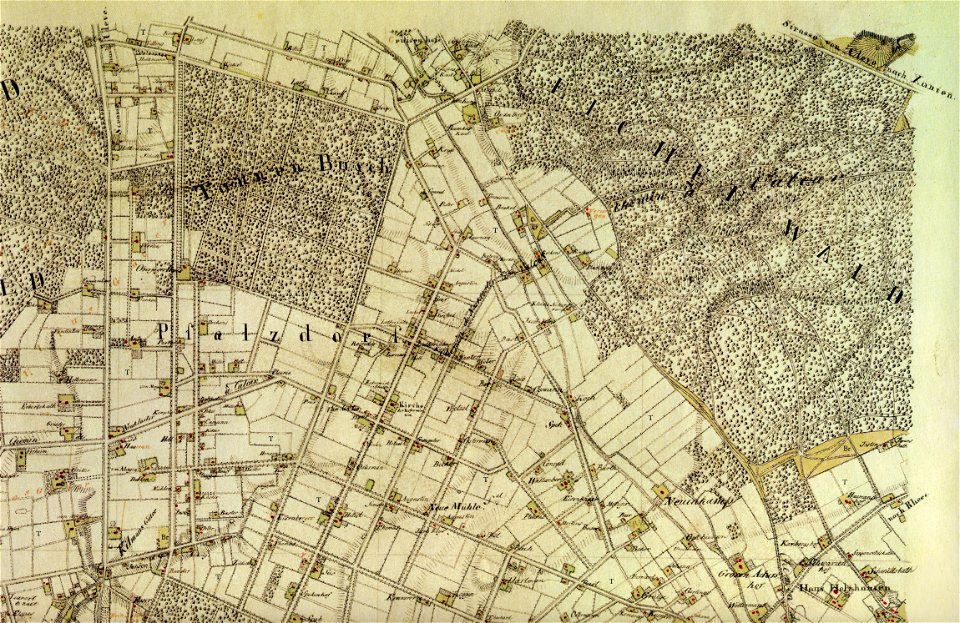
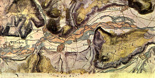
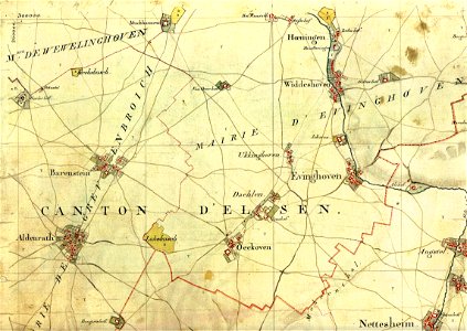
tranchot maps snippets
tranchot maps snippets
tranchot maps snippets
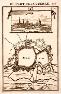
city walls of arras
history of arras
maps of battles of the netherlands
hugh mackay (general)
atlantis magni tomus tertius (biblioteca comunale di trento)
maps made in the 17th century
the worst journey in the world (1922
south pole
atlantis magni tomus primus (biblioteca comunale di trento)
maps made in the 17th century
works by clement de jonghe
historical views of paris
maps made in the 17th century
nicolaes visscher ii
prints from the peace palace library
lucan
old maps of australia
western australia
maps made in the 18th century
johann baptist homann
old maps of the province of a coruña
litografía de julio donón
haninge municipality
haninge
prints from bonne atlas de toutes les parties at the peace palace library
dien (printer)
proposed great seals of arms of the united states
e pluribus unum
lithographs of paris
floor plans of paris
the family of francesco i (giuseppe cammarano, 1820)
giuseppe cammarano
early netherlandish painting,northern renaissance
portrait of margaret van eyck
john of gaunt, 1st duke of lancaster
lucas cornelisz de kock
old maps of braunschweig
atlas van der hagen
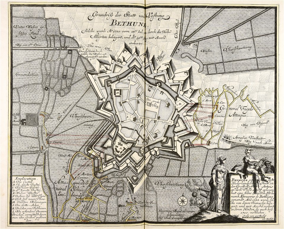
old maps of béthune
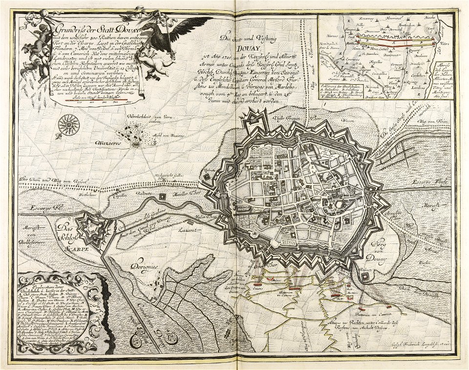
1710
war of the spanish succession
1710
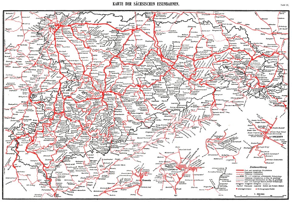
königlich sächsische staatseisenbahnen
enzyklopädie des eisenbahnwesens
1912 in rail transport in germany
enzyklopädie des eisenbahnwesens
prints from manesson travaux de mars at the peace palace library
fortifications in france
nagasaki
iki
maps made in the 18th century
johann baptist homann
maps made in the 17th century
nicolaes visscher ii
maps of bremen by c. a. heineken
maps made in the 18th century
maps made in the 17th century
frederick de wit
maps made in the 17th century
nicolaes visscher ii
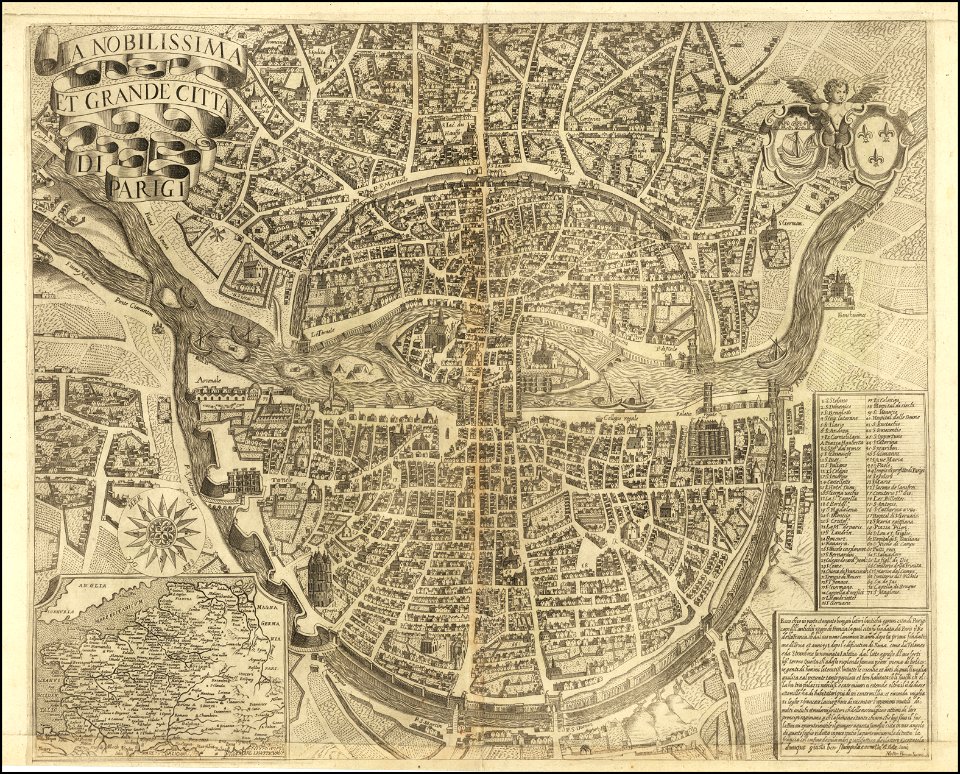
maps of paris from the barry lawrence ruderman antique maps inc.
la nobilissima et grande città di parigi by matteo florimi
bruce county
ontario
johann baptist homann
1720s maps of egypt
maps with cartouches
atlas van der hagen
dutch 17th-century prints in the rijksmuseum amsterdam
maps in the rijksmuseum amsterdam
dutch 17th-century prints in the rijksmuseum amsterdam
maps in the rijksmuseum amsterdam
dutch 17th-century prints in the rijksmuseum amsterdam
maps in the rijksmuseum amsterdam
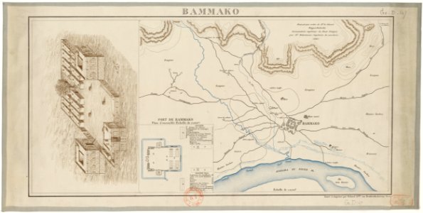
bamako in the 1880s
military maps
maps made in the 17th century
nicolaes visscher ii
maps made in the 17th century
nicolaes visscher ii
flemish prints in the british museum
etchings by wenzel hollar
maps made in the 17th century
old maps of gelderland
johann baptist homann
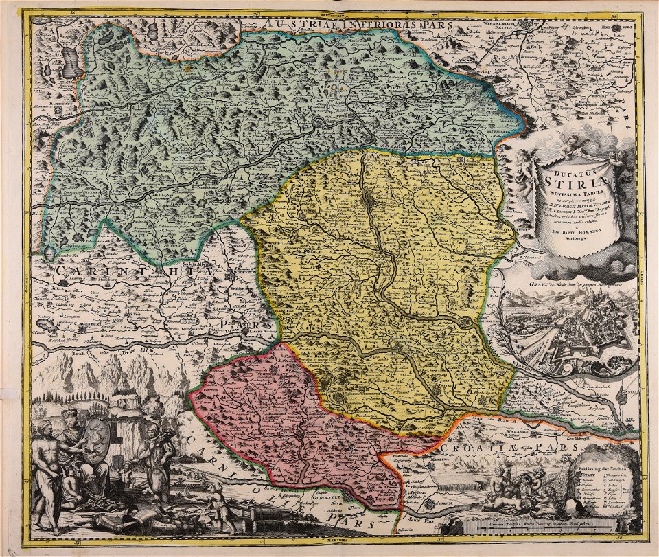
old maps of styria
maps made in the 18th century
johann baptist homann
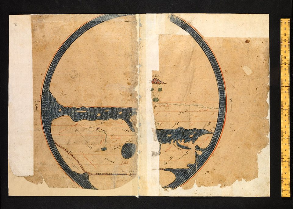
arabic-language manuscripts
bodleian library
maps made in the 17th century
jan janssonius
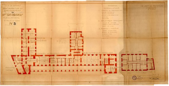
old maps of rennes
1922 maps
old maps of rennes
1922 maps
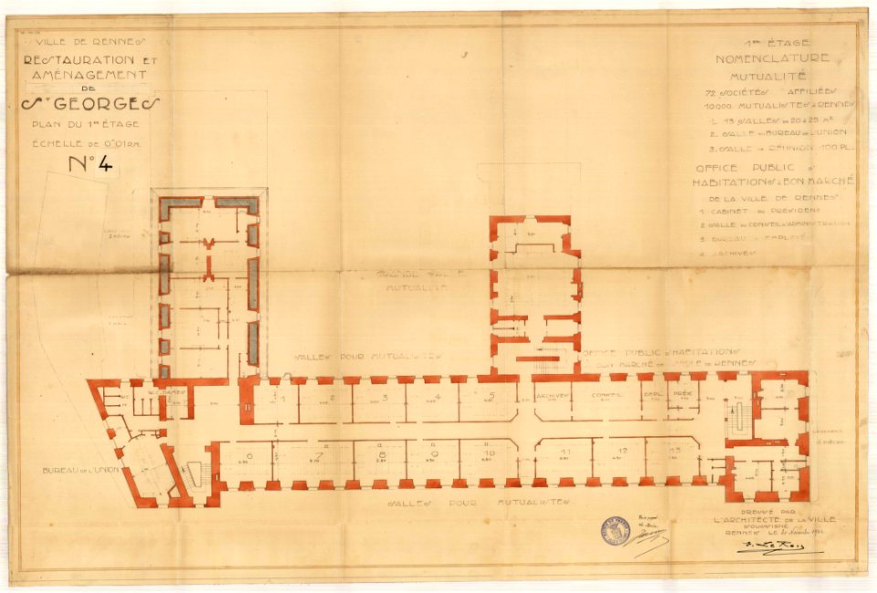
old maps of rennes
1922 maps
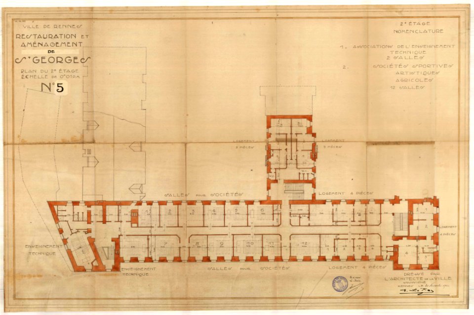
old maps of rennes
1922 maps
georg marggraf
elmina
atlantis magni tomus quartus (biblioteca comunale di trento)
maps made in the 18th century
atlantis magni tomus quartus (biblioteca comunale di trento)
maps made in the 17th century
images from the john carter brown library
maps by samuel de champlain
maps made in the 17th century
nicolaes visscher ii
maps made in the 17th century
nicolaes visscher ii
maps made in the 17th century
nicolaes visscher ii
maps made in the 17th century
nicolaes visscher ii
maps made in the 17th century
nicolaes visscher ii
maps made in the 17th century
nicolaes visscher ii
maps made in the 17th century
nicolaes visscher ii
maps made in the 17th century
jan janssonius
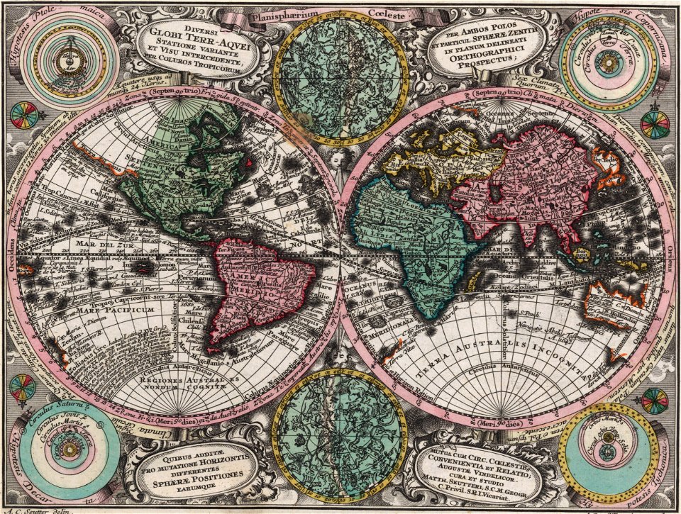
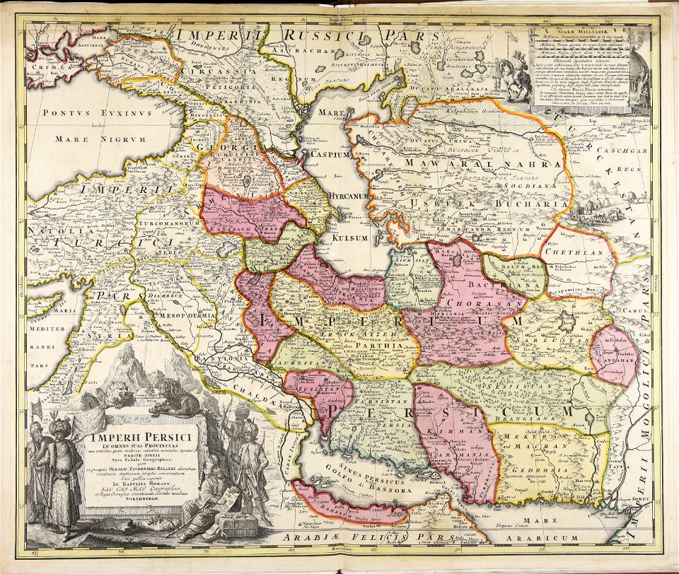
maps made in the 18th century
johann baptist homann
maps made in the 18th century
johann baptist homann
maps made in the 17th century
old maps of gelderland
double hemisphere world maps
color engravings
bamako in the 1880s
military maps
maps made in the 18th century
johann baptist homann
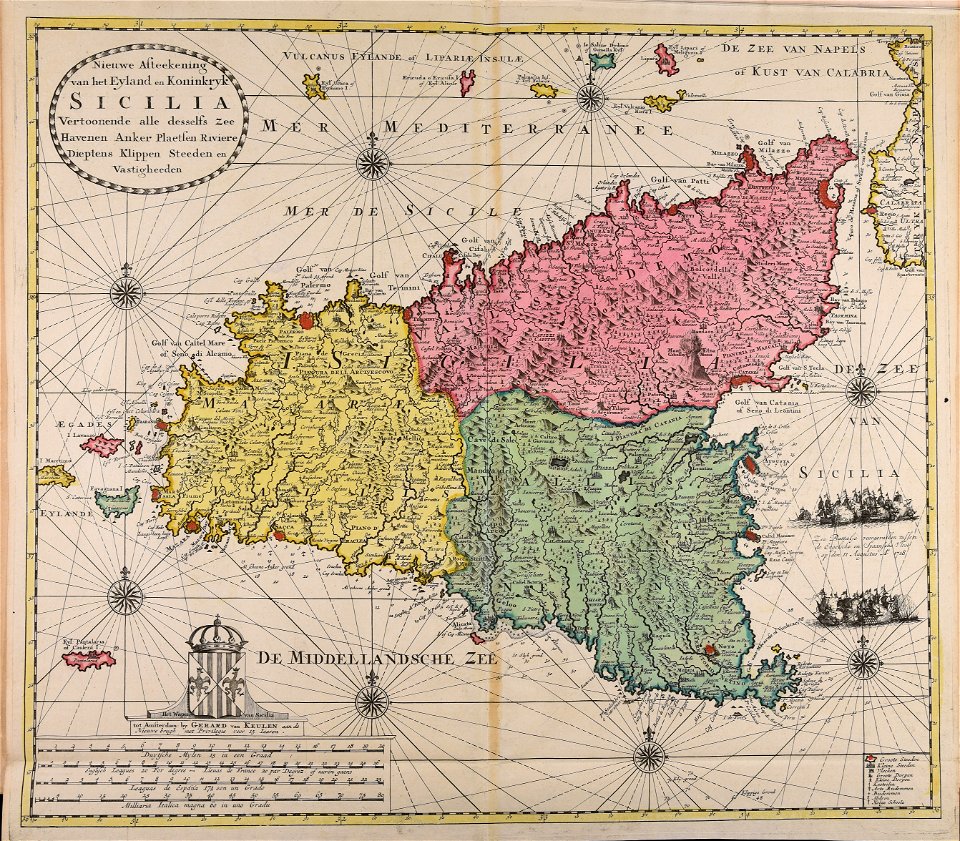
maps made in the 18th century
gerard van keulen
maps made in the 17th century
jan janssonius
maps made in the 18th century
johann baptist homann
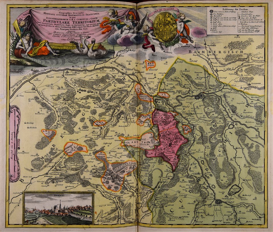
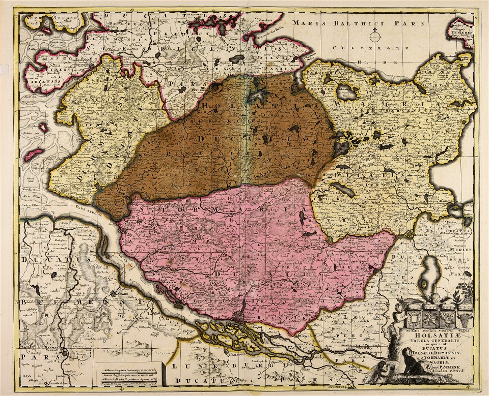
18th-century maps of schleswig-holstein
maps by pieter schenk (i)
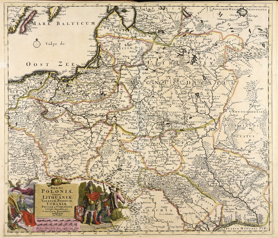
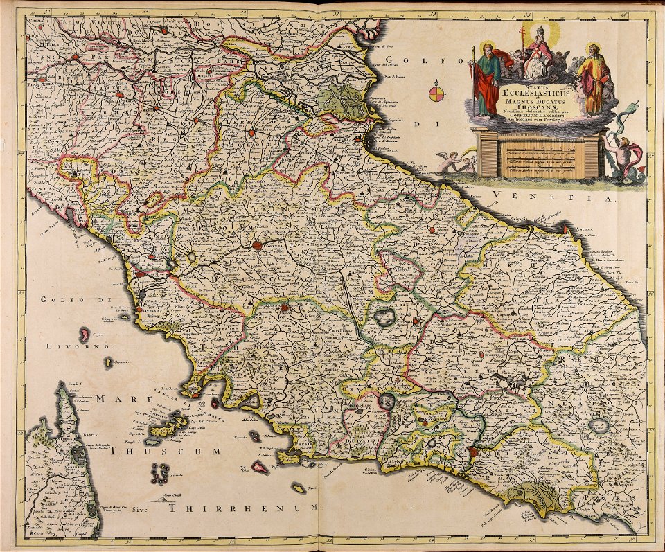
maps made in the 17th century
cornelis danckerts (i)
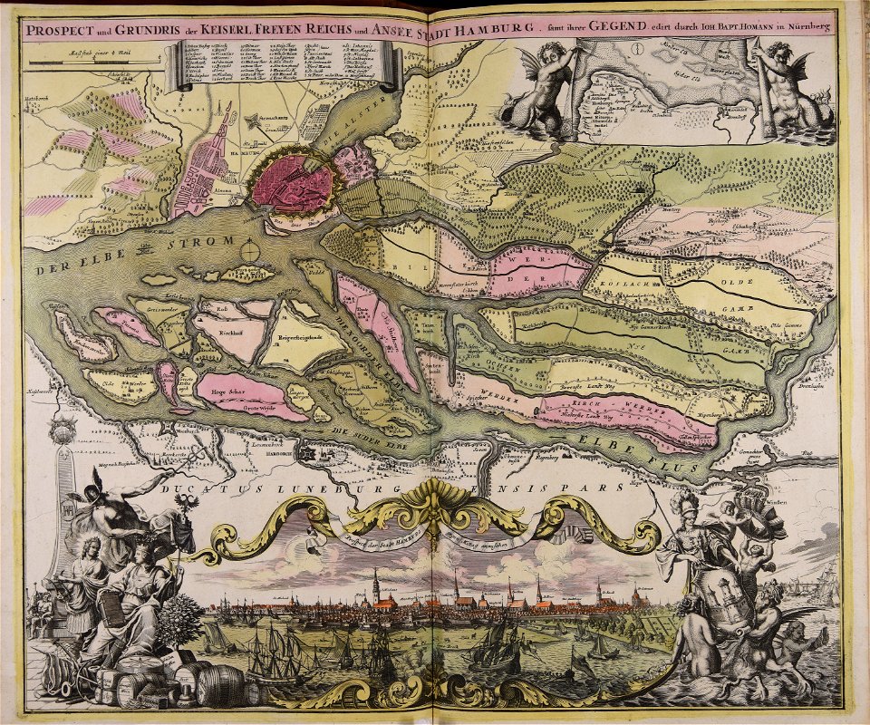
maps made in the 18th century
johann baptist homann
maps made in the 18th century
johann baptist homann
maps made in the 18th century
johann baptist homann
maps made in the 18th century
johann baptist homann
maps made in the 18th century
johann baptist homann
old maps of nuremberg
johann baptist homann
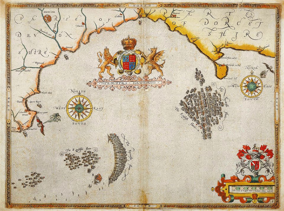
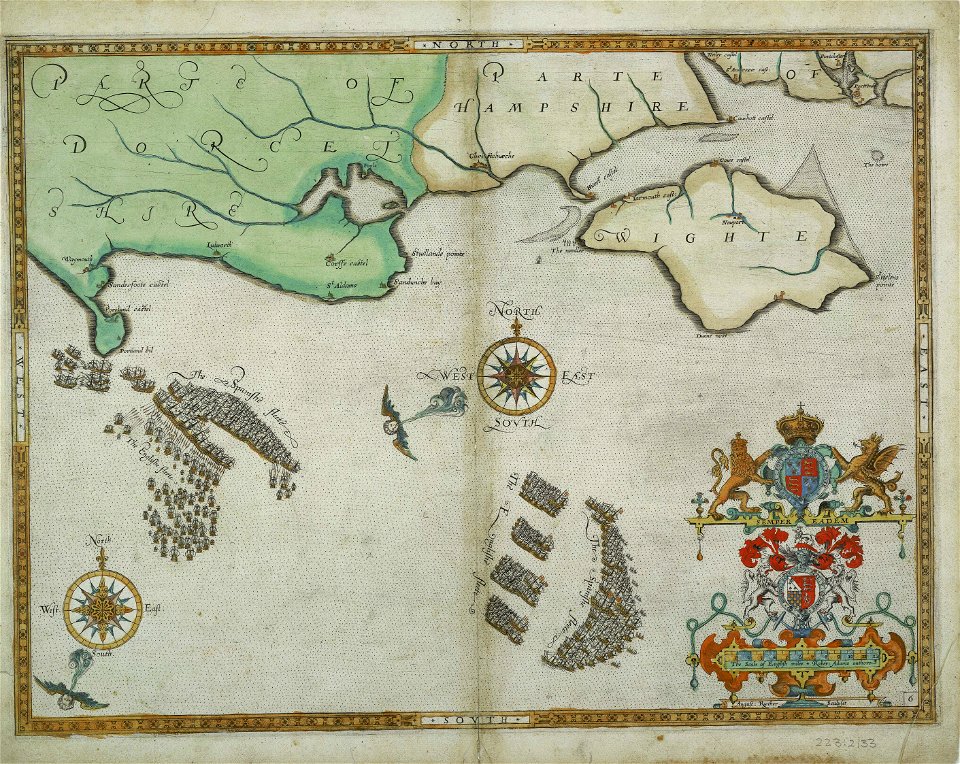
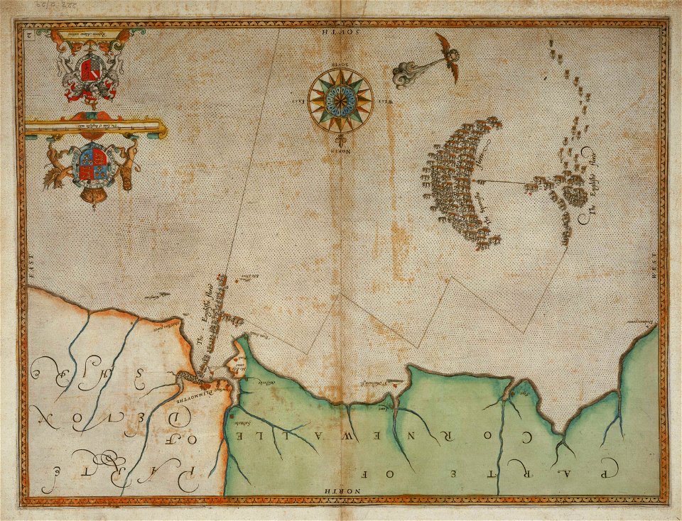
charts and maps of the royal museums greenwich
1590 maps
maps made in the 17th century
old celestial maps
atlantis magni tomus quintus (biblioteca comunale di trento)
maps made in the 17th century
maps made in the 18th century
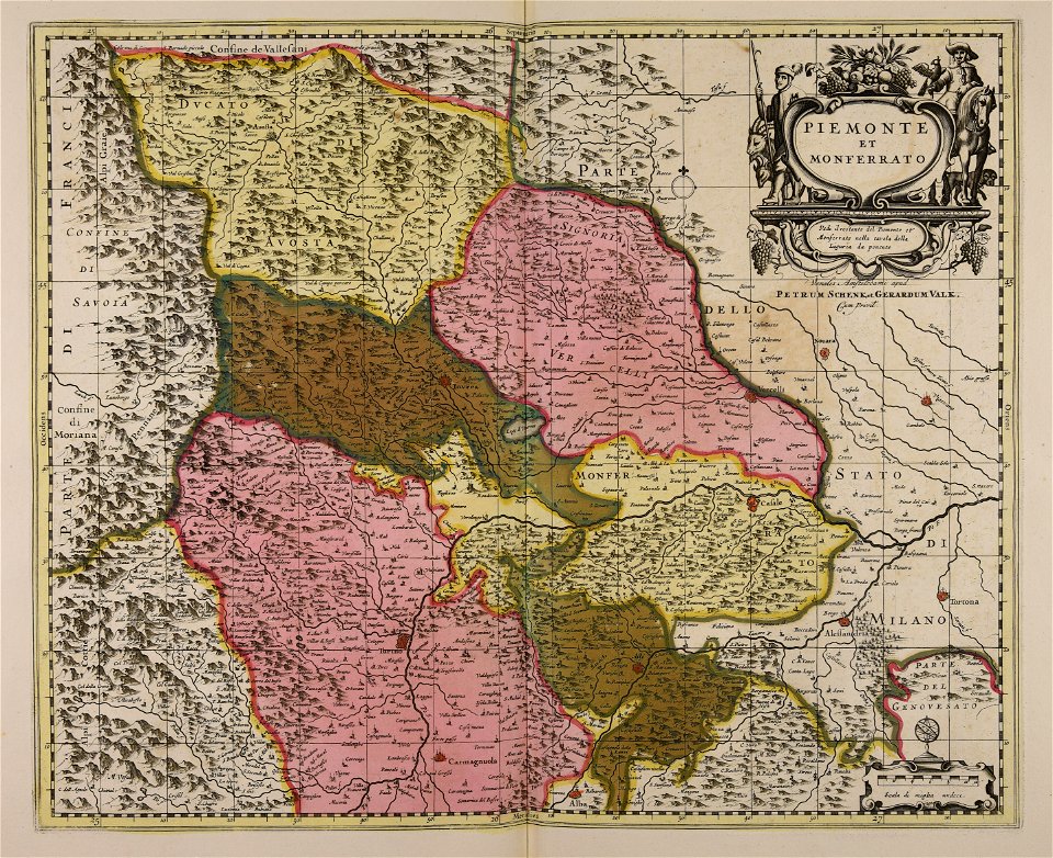
gerard valck
gerard valck
piedmont
maps made in the 17th century
jan janssonius
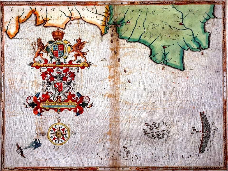
charts and maps of the royal museums greenwich
1590 maps
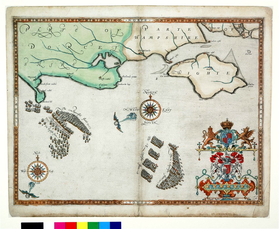
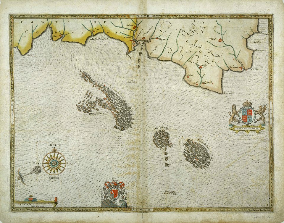
charts and maps of the royal museums greenwich
1590 maps
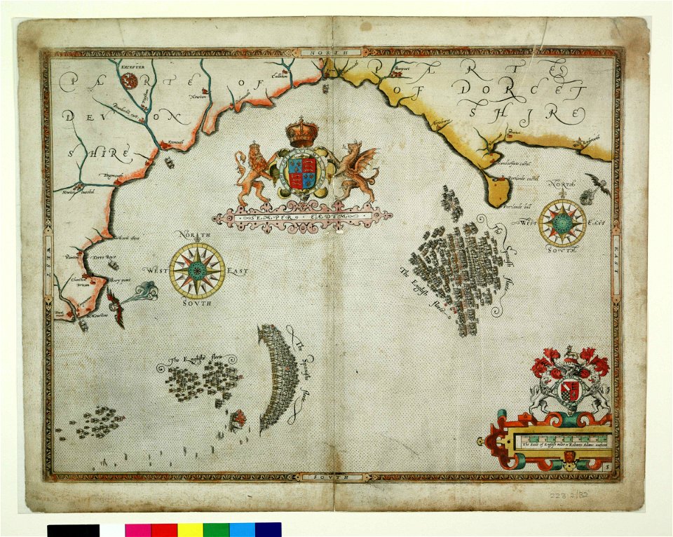
charts and maps of the royal museums greenwich
1590 maps
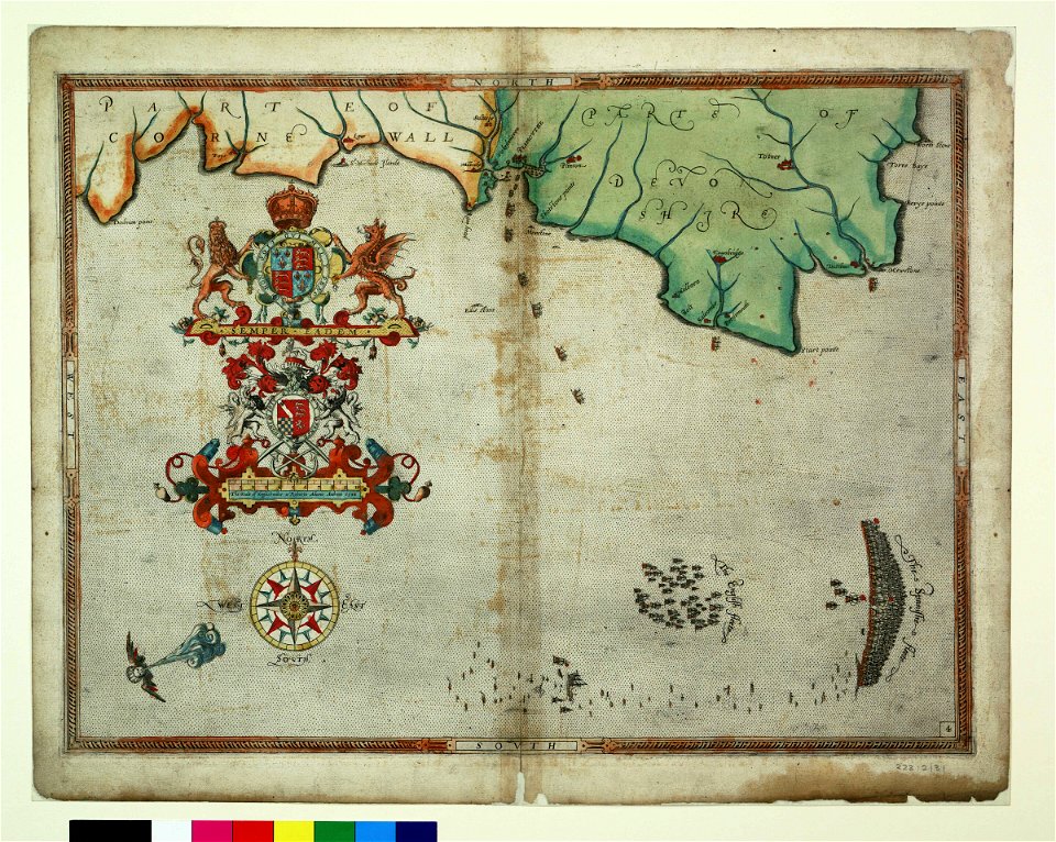
charts and maps of the royal museums greenwich
1590 maps
charts and maps of the royal museums greenwich
1590 maps
charts and maps of the royal museums greenwich
1590 maps
charts and maps of the royal museums greenwich
1590 maps
charts and maps of the royal museums greenwich
1590 maps
charts and maps of the royal museums greenwich
1590 maps
maps made in the 17th century
jan janssonius
maps made in the 17th century
old maps of italy
charts and maps of the royal museums greenwich
1590 maps
6101 - 6200 of 1,095,865
Next page
/ 10959